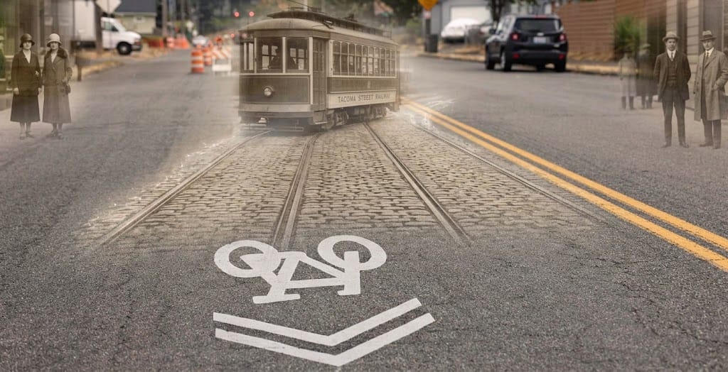
Studio A: Ghost Tracks Production
Series: The History Beneath Our Feet
Status: Pre-Production & Field Ops
Distribution: The Tacoma Loom (QR Kiosks) & The Grey Revolution Digital Network
Pivotal Sources & Attribution
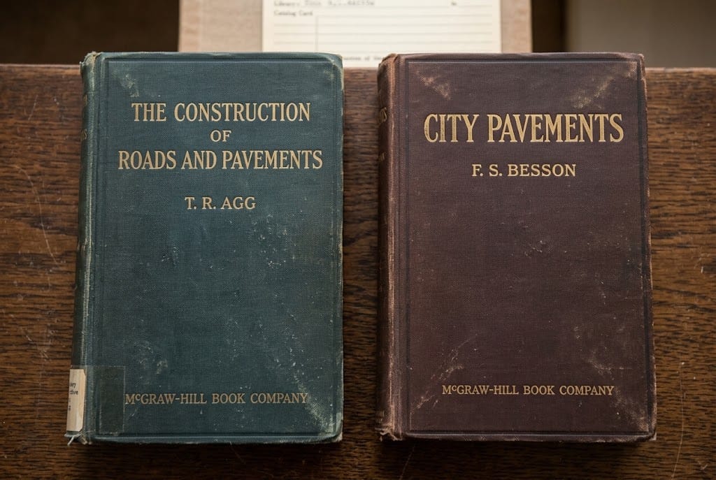
- The Pavement Mavens: The Construction of Roads and Pavements (T.R. Agg, 1924) & City Pavements (F.S. Besson, 1923).
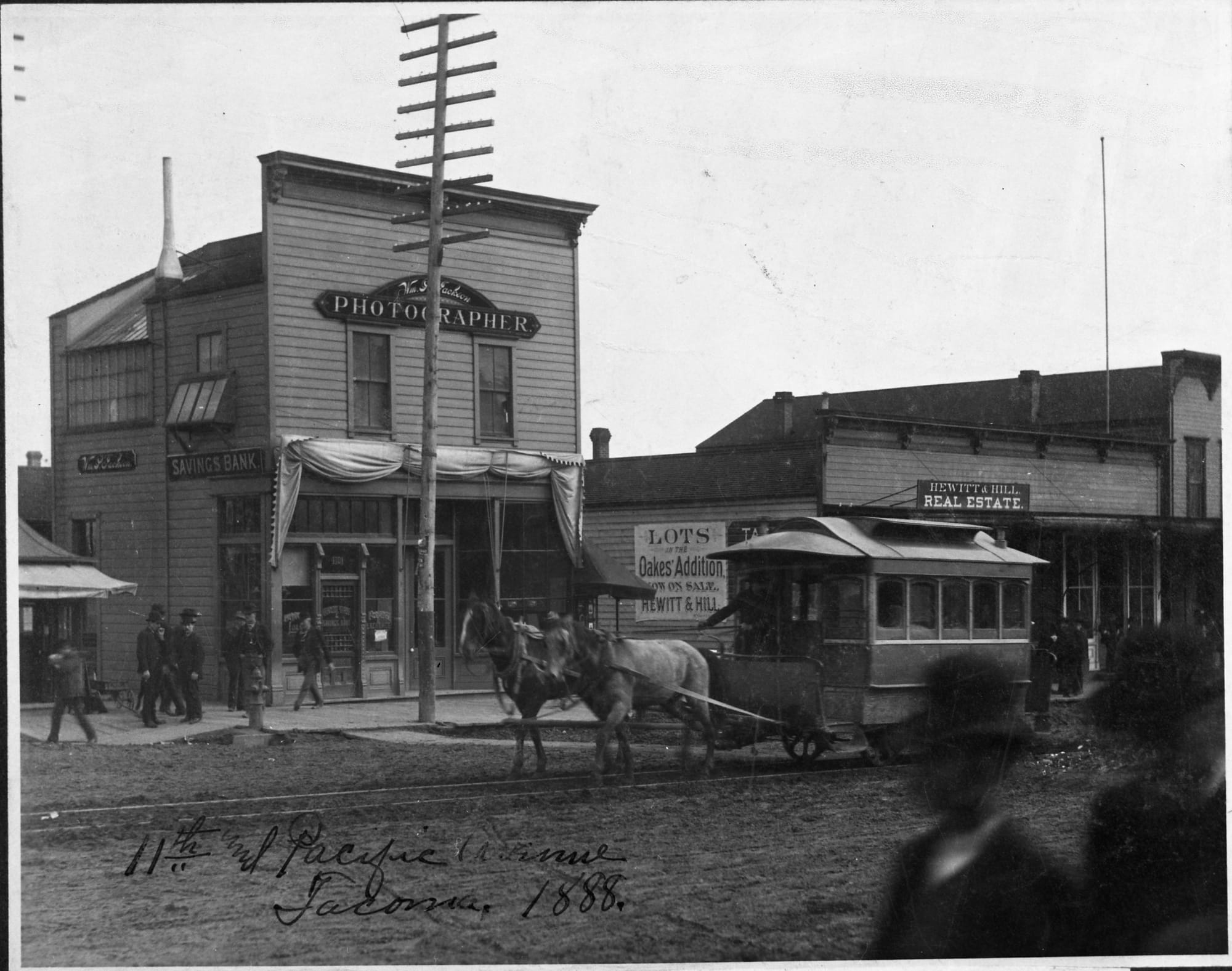
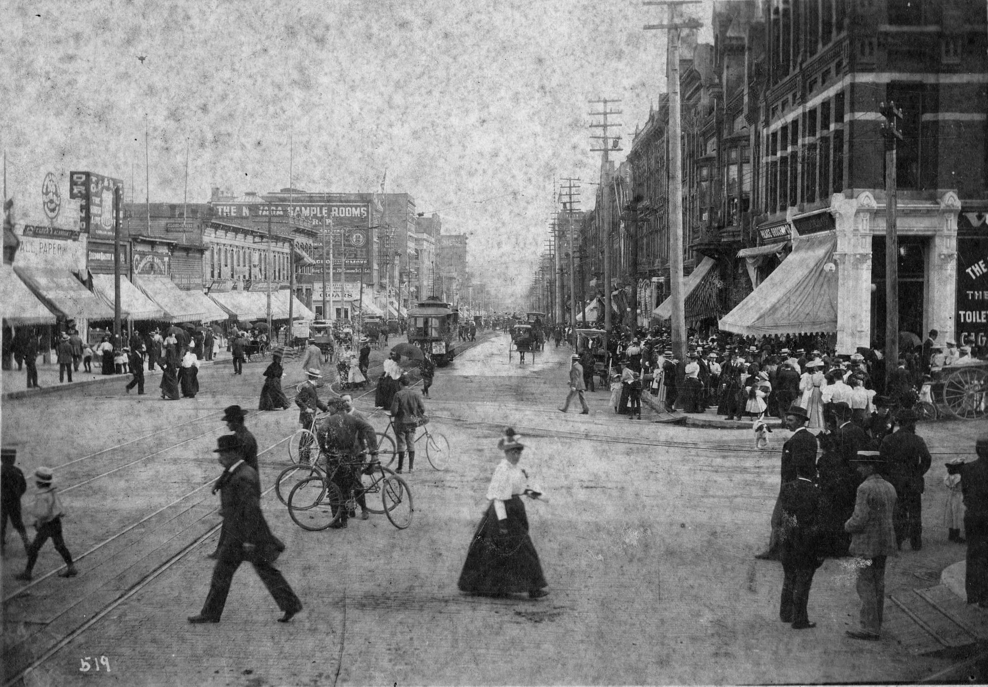
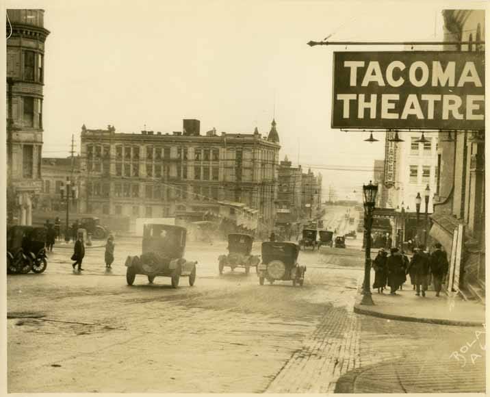
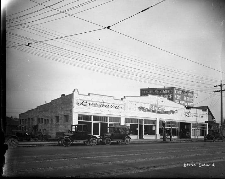
- Archival Photographic Assets: Richards Studio Photographic Slides (Collection 2.1.1, RSS-127), Northwest Room at Tacoma Public Library & WSHS Archives.
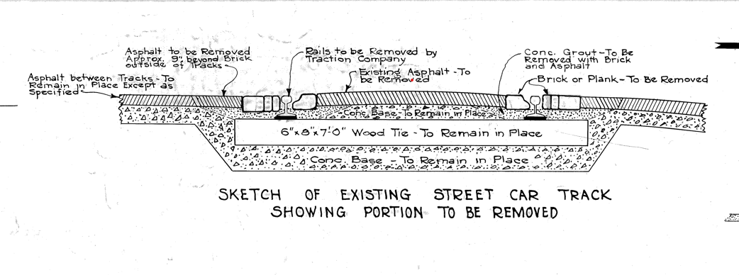
- Municipal Blueprints: C.D. Forsbeck's 1934 S. Union Ave Cross-Section.
- Network Scale Maps: 1923 Metsker Map of Tacoma.
Hardware & Field Ops Configuration
- A-Cam (Tracking/Wide): Insta360 Luna Ultra (1" Leica Sensor, Roll Lock Gimbal Mode, Deep Track 5.0).
- B-Cam (Shallow Depth/Detail): Canon R6 (Configured for 9:16 portrait orientation).
- Audio Capture: DJI Mic 3 (Dual-track local recording for post-sync).
Our job is to take a chaotic historical narrative into a tight, compelling Explainer series and the episodes have not been defined yet the episodes can be combined into a documentary. We are building out the structural framing (the street-level reality) and the intellectual core (the engineering history) simultaneously.
Having a second shooter with a Canon R6 float to capture shallow depth-of-field B-roll and tight reaction shots of Erik and Maria, while the Insta360 Luna Ultra handles the smooth, wide tracking shots. That dual-camera, dual-track audio setup gives you maximum safety on the street, meaning we can absolutely keep the S. Railroad St. location as the primary A-roll site, using the Fawcett Ave block (Corina/The Grand) as the B-roll/interview basecamp.
I. The Engineering Midsection: Why Did They Bury Them?
To bridge the gap between the 1920s streetcars and today's potholes, we need to understand the minds of the 1930s City Engineers. Erik might deal with the aftermath, but this is the history that set the trap.
The "Oxygen Seal" Theory & Depression Economics
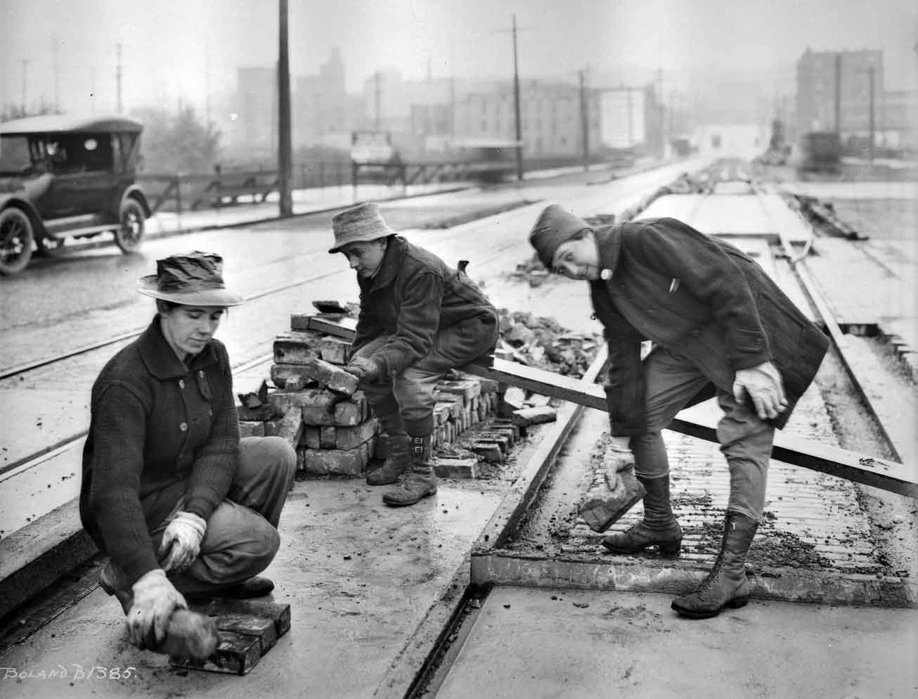
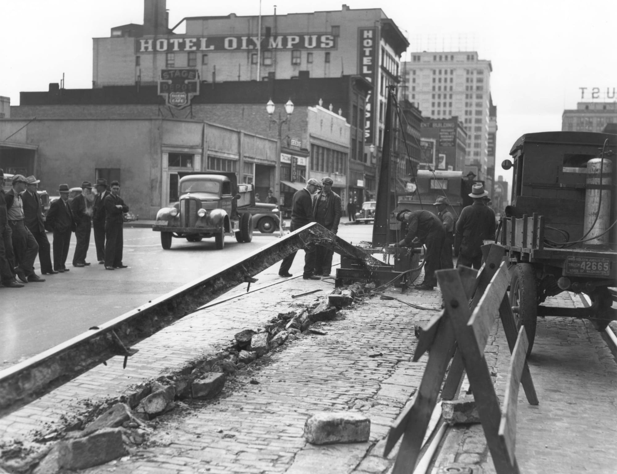
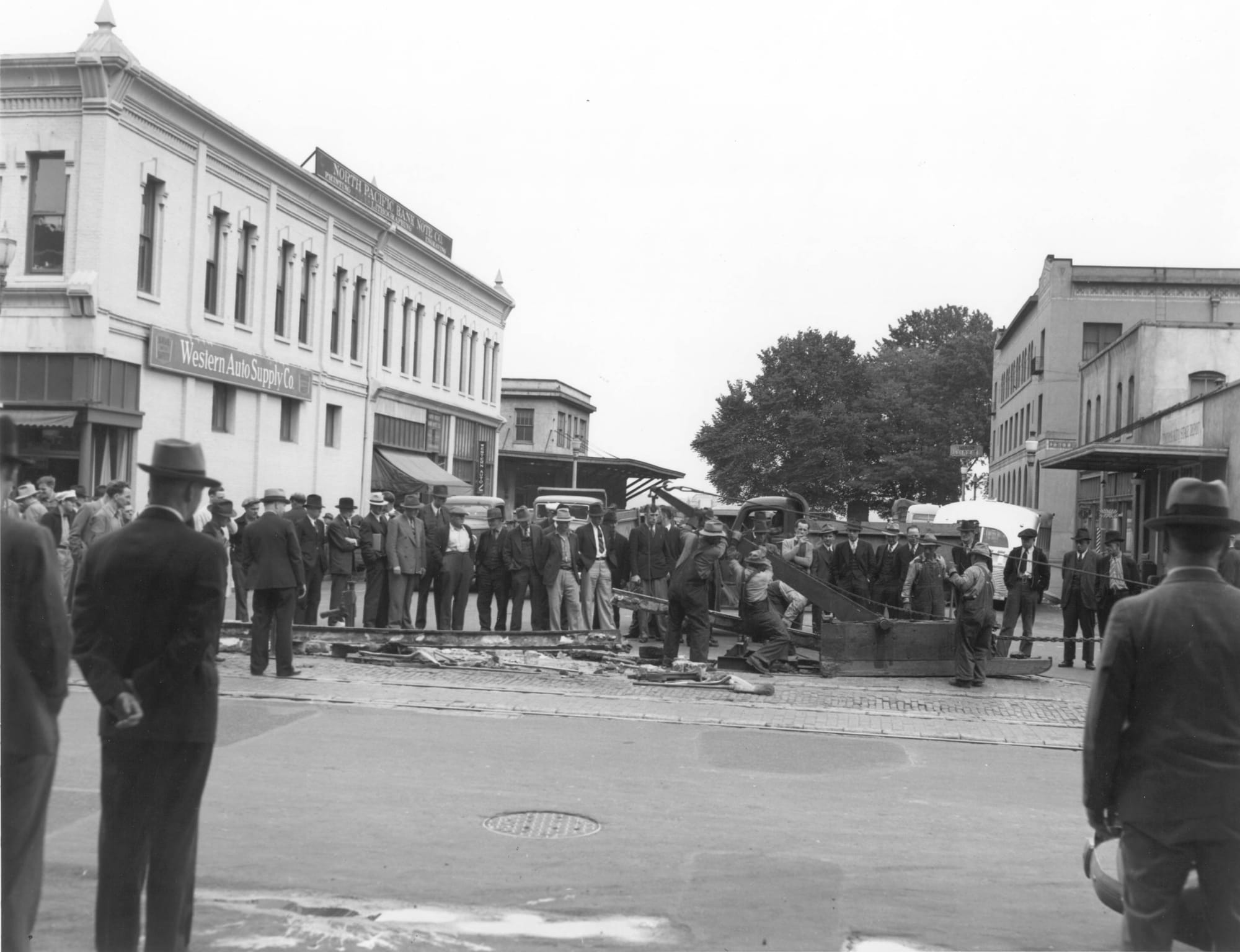
In the early 1930s, municipal budgets evaporated. Ripping up miles of track meant breaking the concrete/brick base, extracting the heavy creosote-soaked wooden ties, filling the massive trench with new aggregate, and repaving. It was astronomically expensive.
The engineers turned to the prevailing civil engineering logic of the time (as documented by Agg and Besson). The theory was simple: wood only rots if it is exposed to oxygen and moisture. The creosote treatment resisted moisture, so if they simply left the ties in the dirt, covered them with a sand cushion, and poured a rigid asphalt cap over the top, they would create an airtight seal. They believed they were essentially entombing the wood in a state of suspended animation.
Why it failed: They didn't anticipate the sheer weight and vibration of modern 40-foot municipal buses and heavy freight trucks. The vibration cracked the asphalt seal, allowing Pacific Northwest rainwater and groundwater to seep in. Once the water and oxygen hit the 90-year-old wood, the rotting process accelerated rapidly, creating subterranean voids that eventually collapse into the massive potholes Erik’s team fights today.
II. The Master Source Ledger (For Validation)
Here are the Pivotal Sources for our PSEditor "Good Housekeeping Seal."
- The Textbooks (The "Pavement Mavens")
Book 1: The Construction of Roads and Pavements by Thomas R. Agg (1924 Edition).
Validation Focus: Chapter XIII: "Street Railway Track in Pavements" and sections on subgrade preparation. This details the era's understanding of rigid caps and vibration absorption.
Book 2: City Pavements by F.S. Besson (1923).
Validation Focus: Sections detailing municipal cost-accounting for streetcar abandonment and "Paving Allowances for Street Railways." This provides the economic "why" for burying the tracks. - The Portland Story (The Regional Precedent) - not sourced yet.
Validation Focus: When evaluating WPA-era track abandonment, Tacoma engineers looked to Portland, Oregon. Portland famously began paving directly over its vast basalt-block and wooden-tie streetcar network in the 1930s and 40s to save Depression-era municipal funds. Just like in Tacoma, Portland's "ghost tracks" routinely re-emerge through the asphalt during summer heatwaves or heavy wear, providing a perfect regional parallel to prove this was a systemic engineering philosophy of the Pacific Northwest, not just a localized mistake. - The Local Blueprints & Diagrams
The Smoking Gun: C.D. Forsbeck's 1934 City Engineer Cross-Section for the S. Union Ave (South Tacoma Way) widening project. This diagram explicitly shows the municipal plan to leave the ties in the subgrade and cap them.
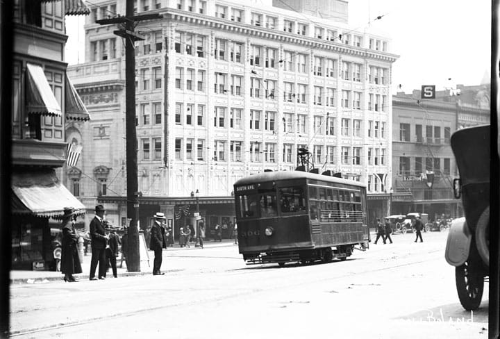
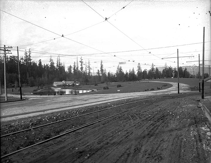
The Network Scale: The 1923 Metsker Map of Tacoma (showing the full grid before the teardown). - Historical Images (The "Then")
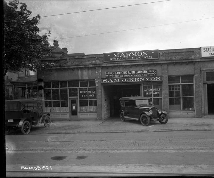
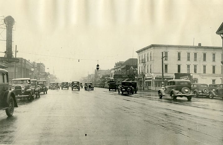
The WPA Dig: Richards Studio Photographic Slides (Collection 2.1.1, RSS-127), Northwest Room at Tacoma Public Library (showing Pacific Avenue excavation).
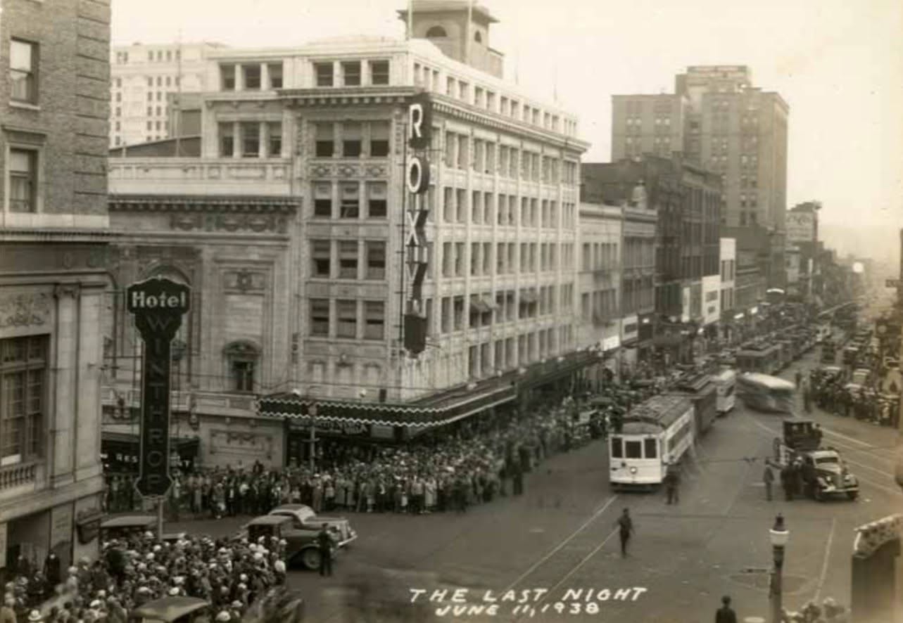
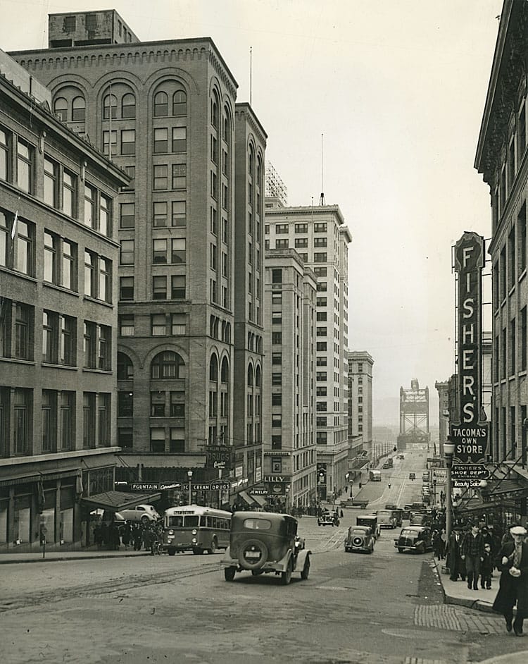
The Glory Days: WSHS Archive view down 11th Street looking toward the bridge (featuring the Fisher's sign). - Current Frame Assets (The "Now")
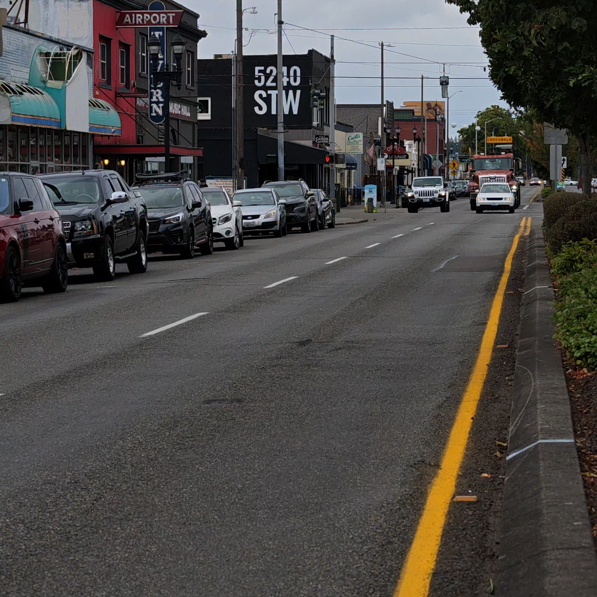
The active paving/stormwater project at S. Railroad St.
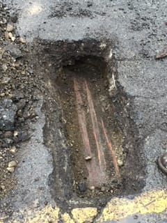
The exposed wooden tie pothole at St. Helens Avenue.
The Corina Bakery / Grand Cinema block on Fawcett Ave.
III. Wendell Ratliff (The Grand Cinema)
Wendell's job as Content Manager is to demonstrate that The Grand is a vital, living hub of the community, not just a movie screen. We offer him two massive values: you are bringing a highly engaged, local, voting-age demographic right to his doorstep, and we are providing him with professionally shot 9:16 vertical video assets that he can drop straight onto The Grand's Instagram.




\